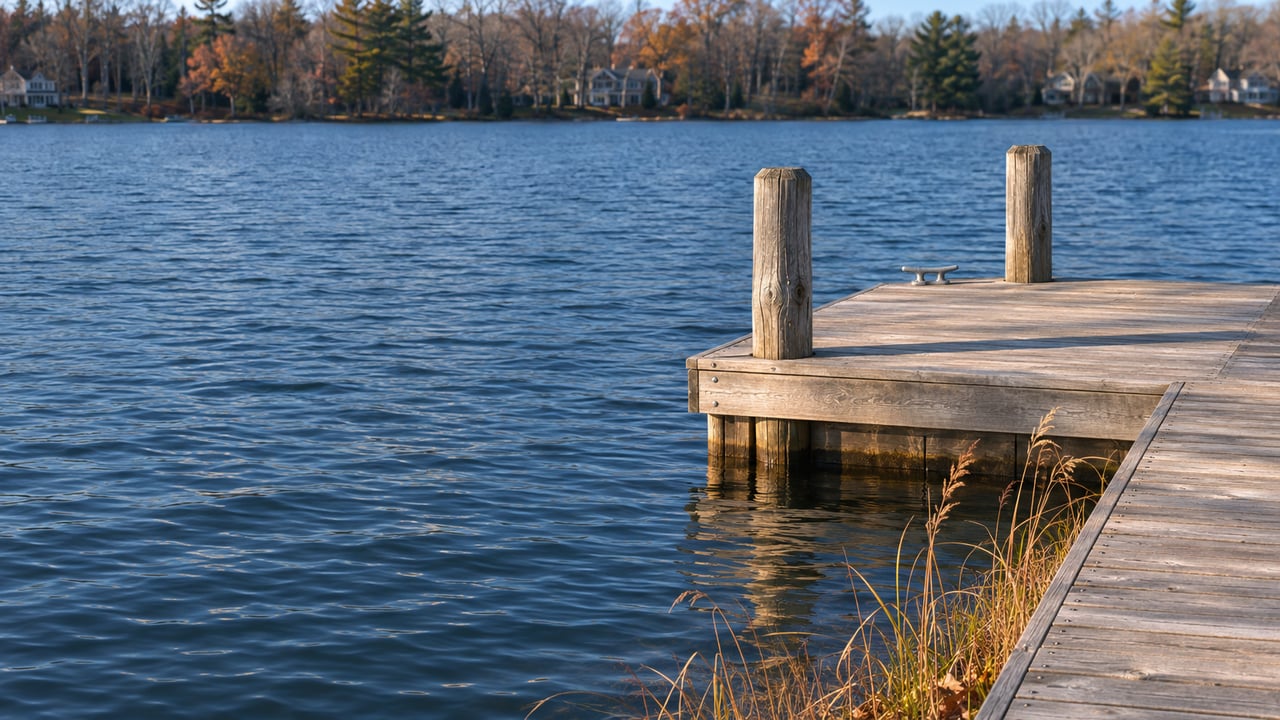
If you're looking at a waterfront home on Kalamazoo Lake, who is responsible for keeping water under the boat at the end of its dock?
For one lane of the harbor, the answer is the federal government. For most of the lake, the answer is a three-community harbor authority that recorded at its December 2025 meeting that it had "no bills and no money to process." Saugatuck, Douglas and Saugatuck Township are now putting together a steering committee to decide what that authority should become and how it might be funded. The listing photos won't tell you which of those two answers applies to a given dock. Its distance from the channel will.
A 9,000-Foot Lane With a Federal Owner
The U.S. Army Corps of Engineers describes Saugatuck Harbor as an entrance channel between the piers, 16 feet deep from Lake Michigan to the river mouth, and then a 90-foot-wide channel running 9,000 feet up the Kalamazoo River "to Saugatuck, Michigan, at the north end of Kalamazoo Lake." The Corps says all of its channels are maintained at 14 feet.
That lane gets regular maintenance. In June 2024 the Corps announced it would dredge 68,000 cubic yards from the federal channel. King Company of Holland was contracted for the Saugatuck portion at $341,000 as part of a larger $1.4 million contract, and the plan called for placing clean sand along roughly a mile of shoreline from the South Pier through Oval Beach, with completion tentatively set for July 19, weather permitting. The same release said the harbor had last been dredged in 2019, on a historical cycle of three to four years. In fiscal 2023, WOOD TV reported $895,000 in federal funds for dredging the harbor and parts of the river after deposits at the river mouth became a hazard to boats. In May 2025, WGVU reported a $385,000 federal allocation for assessments and sediment sampling.
| Federal channel | Rest of Kalamazoo Lake | |
|---|---|---|
| Who maintains it | U.S. Army Corps of Engineers, Detroit District | Kalamazoo Lake Harbor Authority, shared by Saugatuck, Douglas and Saugatuck Township |
| Stated depth | 16 feet at the entrance, 14 feet up the river | No maintained depth |
| Recent work | 68,000 cubic yards of dredging begun in summer 2024 | None reported in recent years |
| Funding | Federal operations and maintenance budget | No dedicated funding stream as of December 2025 |
The Lake Outside the Lane Keeps Filling
When the Kalamazoo River reaches Kalamazoo Lake, it slows down and drops what it has been carrying. Greg Weykamp of Edgewater Resources told the harbor authority in December 2025 that the harbor is "a naturally occurring sediment trap" that "requires continual human intervention to remain navigable," and that about 36,000 cubic yards of sediment enter it every year. The Corps' 2024 channel job was planned at 68,000 cubic yards. Nature delivers more than half that amount to the harbor every year, whether anyone has a budget to remove it or not.
Several obvious fixes have already been looked at. Weykamp's review of the 2016 Kalamazoo Lake Harbor Management Plan noted that channelization was rejected because EGLE concluded it "would disperse contained contamination into Lake Michigan." The options that remain on the table are sediment traps that could be dredged mechanically from shore, contained disposal facilities, and work with farmers and county drain officials upstream to reduce what washes in. Weykamp called that upstream work "plugging the hole in the boat." He also told the board that "permitting and implementation can take multiple years."
On the money side, the authority's budget has been small. In 2025 its board approved Edgewater Resources services capped at $12,000 and asked each of the three municipalities to contribute $4,000. In December 2025 the minutes listed recurring funding as a significant hurdle.
Where the Shallows Already Show
Shallow water isn't a hypothetical future problem in some spots. In 2025, a harbor authority board member said in member comments that Douglas's public boat launches were close to exposure as water levels dropped, especially the Union Street ramp. In July 2026, Vetter Consulting Enterprises delivered a Phase 1 impact assessment to the three communities. It describes Wade's Bayou in Douglas as a place "where shallow conditions already constrain motorized access."
Water levels make the picture harder to read from a single season. Weykamp's December 2025 review called levels "highly variable," swinging between a record low in 2013 and a record high in 2020, and said current levels were roughly 6 to 10 inches below average. A dock that looked fine in a high-water year can show its real depth problem a few years later. Lower water exposes the sediment that has been building up all along.
The Vetter assessment is clear about who would feel it first if dredging stopped:
"Saugatuck would experience the most severe consequences. Its marinas, charter fleet, waterfront businesses, and tourism brand depend directly on a functioning harbor... Waterfront property values—already among the highest in the region—would face downward pressure as buyers discount for uncertainty and loss of access."
The report rates Douglas's exposure as "moderate to high" and Saugatuck Township's as "indirect but meaningful," particularly for river-adjacent and lake-influenced areas. The economic base it protects is real. A 2016 study cited to the board counted 630 slips supporting about $8 million in economic impact and roughly 84 jobs, and it estimated navigable waterfront property values to be "significantly higher than non-navigable ones." That premium depends on the water staying deep enough to use.
The River Money, and Where It Is Pointed
The biggest new pool of Kalamazoo River money this year started upstream, near Kalamazoo. In a May 3, 2026 story, MLive reported that on April 24, Eagle Creek Renewable Energy agreed to pay the state $25 million over the 2019 Morrow Dam drawdown, which sent an estimated 369,000 cubic yards of sediment down the Kalamazoo River. The money goes into a state-controlled fund for restoration projects across the watershed.
What the money can be used for matters here. According to MLive, the settlement language directs the funds to EGLE and DNR "to restore ecological and natural river functions to streams and rivers within the Kalamazoo River Watershed." In the same MLive story, DNR fisheries biologist Matt Diana said the sediment is "spread out. It's hard to get at and probably not the best lift," and pointed toward "dam removals and large-scale habitat projects" instead.
On October 1, 2026, Governor Whitmer folded that $25 million into Reclaim the Rivers. The announcement says the money "will support sediment, habitat and riverfront projects," and it names planned dam removals and stream restoration in Allegan, Otsego, Plainwell, Swan Creek and Trowbridge. EGLE and DNR project teams will work with local governments and community groups, and the state says "community input will help guide how the funding is used."
That input process is the opening the lake communities are now organizing around. At Saugatuck's October 26 council meeting, Councilmember Peterson reported that the harbor authority would form a steering committee with representatives from each community to develop a plan for the river money. She said the goal was a specific proposal by year-end, with Randy King helping on dredging. At a November 4 workshop, City Manager Ryan Cummins said the committee would review the authority's agreement, governance and funding. Saugatuck put off naming its members until December so incoming council members could weigh in. The board had already been weighing bigger questions over the summer, including whether the authority should stay as it is, become a nonprofit or be replaced. Its consultant told the board that state dredging funds were largely unavailable.
What a Dock Buyer Can Actually Check
Most buyers ask whether the house has a dock. The more useful question is how deep the water at the end of it is likely to stay, and some of that can be checked.
- Where the dock sits relative to the federal lane. The Corps' Saugatuck Harbor page posts a project map and annual condition surveys from 2019 through 2023, along with a link to its eHydro survey site. A dock on or near the maintained channel benefits from federal dredging. A dock deep in a bay or a bayou does not.
- How the water looked in a low year. Levels have swung from a record low in 2013 to a record high in 2020. A seller who has owned through both may know how that slip behaves when the lake drops.
- How the harbor might be funded later. The Vetter roadmap lists "special assessments, harbor district fees" and cost-sharing between jurisdictions as long-term revenue options for years eight through ten of its plan. The Vetter report, included in the October 6, 2026 joint meeting packet, describes the existing interlocal agreement as allowing tools like special assessments, fees, grants and bonding. None of these is in place today.
- Public access improvements already eligible for grants. At the December 2025 meeting, the authority heard that the harbor qualifies for state Waterways funding as a public facility, and that sites like the Union Street ramp or Schulz Park could be candidates.
Assessments and fees are a matter for the municipalities and your own advisors. Please treat this post as general information, not legal, tax or financial advice, and confirm how any future charge would apply to a specific property with the right professional.
The next dates to watch are December, when Saugatuck names its members to the steering committee, and the end of the year, when the committee hopes to have a proposal ready. Harbor authority meetings are held at Saugatuck City Hall, 102 Butler Street, and are also streamed on Zoom.
If you're weighing a dock on Kalamazoo Lake and want someone to help you find where it sits relative to the channel, pull the survey maps and ask the seller the right questions about low-water years, reach out to Suzanne Bladek. Contact Capt'n Sue for a private consultation, and we'll look at the water together before you commit to the shoreline.